|
|
|
|
|
Walking to Work no.3
November 2014
Aalbourg University, Copenhagen. 'Networked Urban Mobilities' conference of the Cosmobilities Network.
Walking to Work no.3 is a new iteration of this work made specifically for a conference about Networked Urban Mobilities. Over the past 7 years I have been working with the Centre for Mobilities Research at Lancaster University where I am now creative director. I have been contributing to a move in this area to include exhibitions as central elements of research events. This exhibition surrounded the social spaces of the conference and included work by Allan Sekula & Noel Burch, Michael Hieslmair & Michael Zinganel, Rhei, Lee Lee and Antonia Hernandez. Most of the artists in the exhibition also gave papers or participated in panel discussions.
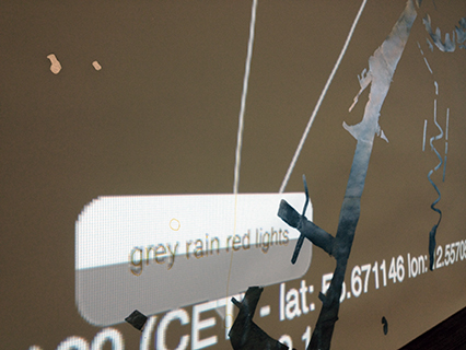
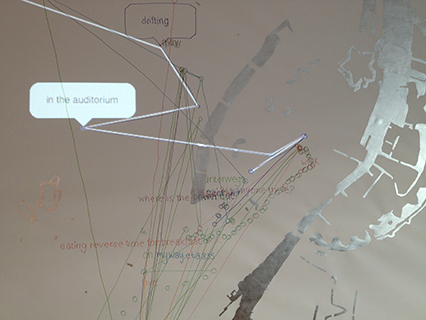
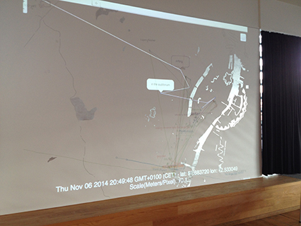
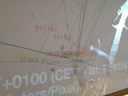
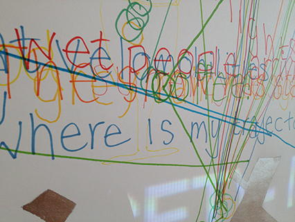
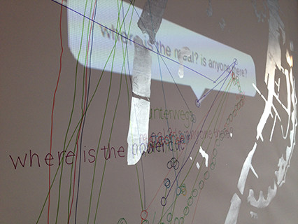
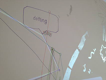
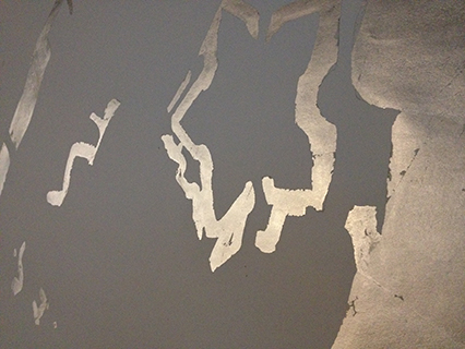
The live data from conference delegates and local participants was projected onto a map of the water in Copenhagen made with silver leaf. Through the app, participants could see each other converging on the conference, and see their comments updated as they participated in discussion through the app. The map was then annotated and traced by anyone at the conference to produce a longer lasting trace of activity.
The map is only of water in the landscape in order to offer a recognisable geographical anchor for the projection, and yet to be obviously a partial map that does not reveal detail of participants locations, or anticipate roads, railways and footpaths. The projected data can therefore be viewed in terms of how the locations of participants relate to each other in terms of proximity, trajectory, and speed rather than by precisely where each individual is located. The map is drawn in silver ink, as the viewer moves in relation to the drawing its visual appearance changes, reflecting more or less light depending on the position of the viewer. A map that changes in relation to the viewer suggests that instead of the 'God's eye view' usually associated with aerial perspectives, that the map is always a fragment showing a specific political or social perspective on landscape, and viewed in different ways depending on the map readers situation.
The live mapping offers participants with a shared experience of 'comobility', of being mobile with othes at a distance. As smart phones allow GPS to be a networked technology this form of mobile communication becomes possible, and through 'Walking to Work' participants reflect on what it means to them to be connected at a distance through their movements, location, speed, trajectory and mode of travel which can all be read in the subtle movements of the blue dot on the screen.